
Typhoon mode · September 2, 2025 – September 10, 2025
Peipah (Kiko) 2025
0 DPWH flood-control projects worth ₱0 sit within 100 km of this storm’s track. Peak sustained wind 51 kt (94 km/h, 1-minute average). Being on this list says nothing about a project’s quality. It is where photos after the storm are most useful.
Track and projects
Red line: storm centre (best track). Shaded band: 100 km around the track (median 34-kt wind radius near the Philippines, or 100 km where radii were not reported). Blue dots: projects with DPWH coordinates.
Projects in path
0
Contract value
₱0
Reported complete
0
Ongoing or not reported
0
Projects to check
Near one of these? Open the project and use “Check in” to add a dated photo. Faces and plates are blurred automatically.
No DPWH flood-control project with published coordinates lies within this track's buffer (100 km, or the reported wind radius). Projects DPWH published without coordinates cannot be placed, so they are not counted · Source: DPWH Transparency Portal.
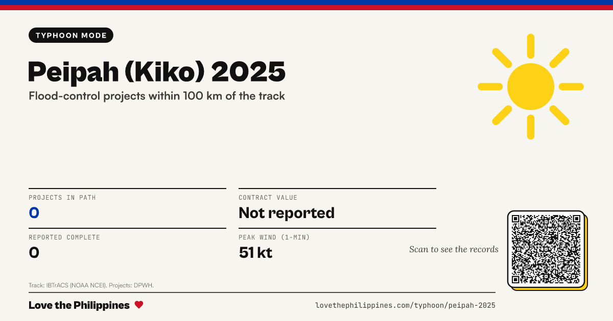
Share this page
The card shows the public record facts and a QR code back to this page.

Track: IBTrACS v04r01, NOAA National Centers for Environmental Information (Knapp et al., 2010), including JTWC data. Recent storms use provisional tracks that may change. Local name assigned by PAGASA. Projects: DPWH flood-control project list; distance is from the project’s reported coordinates to the track line.